PINCH, ⌘ / CTRL + SCROLL, OR + − TO ZOOM · DRAG TO PAN
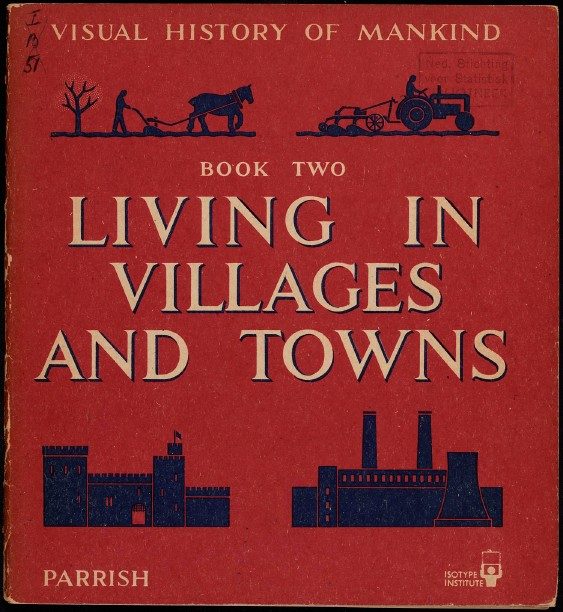
Visual history of mankind- book Two- Living in villages and towns
1948 :: VISUAL HISTORY OF MANKIND :: BOOK
Illustrated school history of everyday life, the second of three volumes, with 20 Isotype charts each followed by numbered questions for pupils. Charts cover a medieval village, strip and block land sharing, crop rotation, changes in clothing, Sumerian temples and medieval monasteries, a medieval city and its trades compared with a modern town, Roman roads, the Arab empire, European population growth, events in British history, British trade in the 15th and 16th centuries, the growth of London, Peiping and New York, working hours, rich and poor households 1100–1900, age structure 1820 and 1940, coal mining and a hundred years of street lighting and dress. Prepared by Otto and Marie Neurath with J. A. Lauwerys, edited by Lancelot Hogben, charts by the Isotype Institute.